Walking route to the Cova Tallada
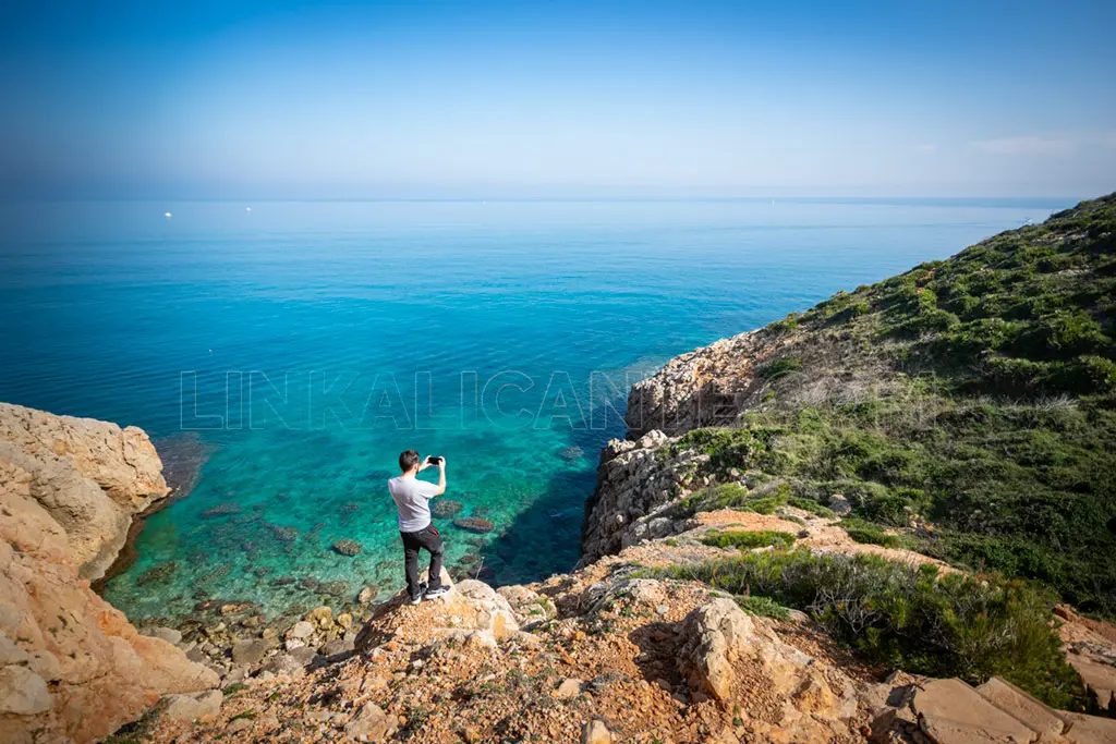
The hiking route to the Cova Tallada runs through rocky terrain, at the foot of the cliffs of Cap de Sant Antoni.
It is a route of medium-high difficulty and should be done with hiking shoes, food and enough water, since during the summer months it can be very hot in the area.
Where does the route to the Cova Tallada begin?
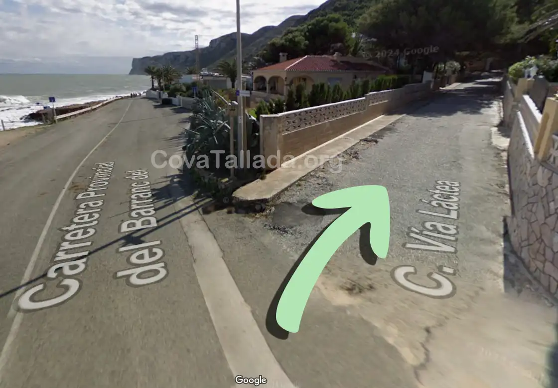
The hiking route begins in Les Rotes, a residential area on the outskirts of Dénia (Alicante). Specifically, in Vía Láctea street. Walking along this street and going up the slope at the end of it, you will reach the information and reservation point of the Cova Tallada. Here they will inform you about the route and validate that your reservation is correct.

How long is the route to the cave?
The hiking route to the Cova Tallada has a length of 4 kilometers (2 km. outward + 2 km. return). The route follows the same path there and back.
How long does the route take?
People who hike to the Cova Tallada usually take between 45 minutes and 1:15 hours to reach the entrance of the cave.
How is the route to the cave?
This is a hiking route of medium-high difficulty along the cliffs of the Marine Reserve of Cap de Sant Antoni.
The hiking route goes through very rocky and steep terrain, so it is mandatory to wear hiking shoes.
Is the route signposted?
Yes, the route is signposted and generally easy to follow. However, we recommend the use of a smartphone application to help you follow the correct route, for example wikiloc.
How is the access to the cave?
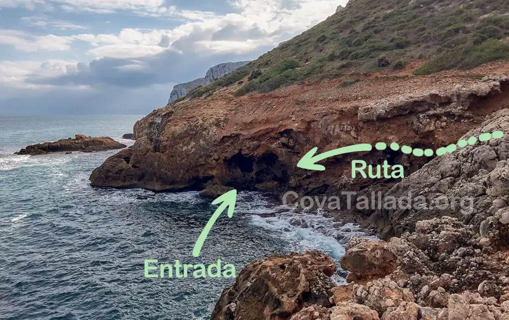
Access to the cave requires overcoming a very uneven terrain where we will have to “climb” with the help of our hands and a chain installed on site.

